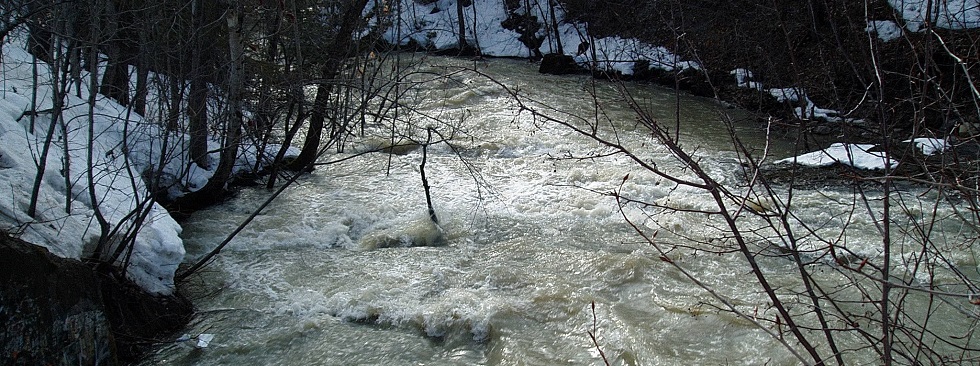
Hydrometrics
RVCA's Hydrological Information System (HIS) is based on the KISTERS product called WISKI (Water Information Systems KISTERS). It is a hydrometrics and water data management software solution. WISKI automates data collection processes for faster analysis and better decisions, improves data quality, provides powerful visualization tools, and offers an easy way to report and share your hydrological data. WISKI is a powerful and flexible software solution that can manage all of your water data in one location.
Links to RVCA's current Hydrometrics data are listed below...
RVCA Weather Station Dashboard
View Air Temperature, Air Pressure, Precipication, Wind Speed, Relative Humidity & Dew Point in charts, table summaries & associated mapping for RVCA Weather Stations.
 |
RVCA Flow & Water LevelsThe graphs on this site are interactive and represent real-time daily flow and water level data. |
| Water level data for monitoring stations operated by the Water Survey of Canada in the Rideau watershed (Rideau River at Ottawa, Jock River near Richmond, Kemptville Creek above Kemptville and Tay River at Perth) and on the Ottawa River are available on the Environment Canada website at https://www.wateroffice.ec.gc.ca. | |
 DISCLAIMER: users of the RVCA flow data and water level data are cautioned to consider the unverified nature of the information before using it for decisions that concern personal or public safety or the conduct of business. The Rideau Valley Conservation Authority assumes no responsibility for the correctness of the information contained in this website nor liability to any user of such information, regardless of the purpose. River Levels and flows can change rapidly.
Water Quality
Clean surface water is required for drinking water, agriculture, recreation, tourism, industry and ecology. RVCA has sampled surface water since the 1960s, measuring the presence of various bacteria, nutrients, metals and dissolved solids and monitoring trends over time.
 |
RVCA Water QualityView Water Quality sites, data summaries, interactive graphs and maps, based on user-defined parameters. |
| The water quality parameters include: Conductivity, Copper, Ecoli, TKN (Nitrogen), pH, Phosphorus, TSS (suspended solids). The parameter's provinical guideline/objective is also charted for reference. Please visit RVCA Baseline / Watershed Watch Monitoring and watersheds.rvca.ca for further info. | |
Want to learn more? Please contact Dave Crossman, GIS/IM: 613-692-3571 x1160
Visit Us on ArcGIS Online...rvca.arcgis.com
RVCA Subwatershed and Catchment Reports? 2023 Watershed Report | watersheds.rvca.ca
The RVCA’s 2023 Watershed Conditions Report includes a comprehensive analysis of historic surface water quality trends at the subwatershed and catchment level. The RVCA produces individual reports on the Rideau watershed’s catchments. These catchment reports are a compilation of data collected through the RVCA’s watershed monitoring and land cover classification programs. Catchment information is used to develop subwatershed reports that summarize the health of the Rideau’s six main subwatersheds.